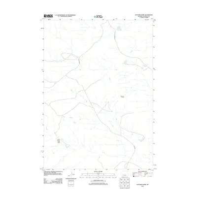
2012 Map of Notches Dome
USGS Topo · Published 2012About this map
Notches Dome rises as the central landmark in this high-plains landscape of central Wyoming. The 2012 survey illustrates a terrain defined by subtle drainages and specialized transport routes, most notably the Cottonwood Stock Trl, which suggests the enduring importance of livestock movement through Natrona County. Water is a scarce and vital resource here, marked by the presence of Lester Lake in the northern reaches and the winding path of the South Branch Cave Gulch to the southwest. The infrastructure is minimal, consisting of rural corridors like Baker Cabin Rd and Notches Rd, reflecting a region dedicated to ranching and open-range utility in the early twenty-first century.
Find a feature on this map
6 named features on this map. Tap any name to fly to it.
Don’t see what you’re looking for? This feature index may not catch every label — zoom into the map to look around manually.
Map Details
Editions of this 2012 Notches Dome Map
This is the sole edition of this map. No revisions or reprints were ever made.
Other maps of this area

1952 · Deadman Butte
USGS Topo · 1:24,000

1952 · Waltman NW
USGS Topo · 1:24,000

1952 · Waltman
USGS Topo · 1:24,000

1955 · Arminto
USGS Topo · 1:250,000

1958 · Arminto
USGS Topo · 1:250,000

1962 · Arminto
USGS Topo · 1:250,000
1968 · Notches Dome
USGS Topo · 1:24,000

1968 · Flat Top Hill
USGS Topo · 1:24,000
1968 · Powder River
USGS Topo · 1:24,000
1968 · Three Buttes
USGS Topo · 1:24,000