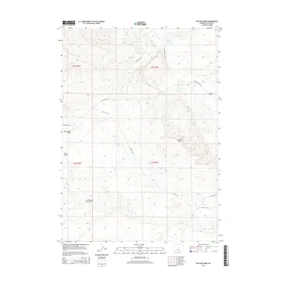
2015 Map of Notches Dome
USGS Topo · Published 2015About this map
Notches Dome anchors this high-plains landscape in Natrona County, where the infrastructure of Wyoming's ranching and energy sectors is etched onto the terrain. The transition from cattle country to resource extraction is visible in the network of local routes, ranging from the Cottonwood Stock Trl to the industrial Oil Field Center Rd. Natural features like Cactus Flat and Ralston Flats highlight the arid character of the region, while the South Branch Cave Gulch and Lester Reservoir provide critical water sources for local operations. Historical movement across the area is preserved in labels like Baker Cabin Rd, suggesting early homesteading or freighting routes that preceded modern development. This survey serves as a clear record of how land use and transportation patterns adapt to the isolated, undulating topography of the Wyoming interior.
Find a feature on this map
16 named features on this map. Tap any name to fly to it.
Don’t see what you’re looking for? This feature index may not catch every label — zoom into the map to look around manually.
Map Details
Editions of this 2015 Notches Dome Map
This is the sole edition of this map. No revisions or reprints were ever made.
Other maps of this area

1952 · Deadman Butte
USGS Topo · 1:24,000

1952 · Waltman NW
USGS Topo · 1:24,000

1952 · Waltman
USGS Topo · 1:24,000

1955 · Arminto
USGS Topo · 1:250,000

1958 · Arminto
USGS Topo · 1:250,000

1962 · Arminto
USGS Topo · 1:250,000
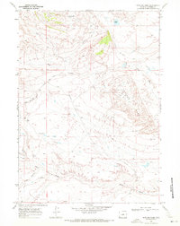
1968 · Notches Dome
USGS Topo · 1:24,000

1968 · Flat Top Hill
USGS Topo · 1:24,000
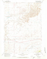
1968 · Powder River
USGS Topo · 1:24,000
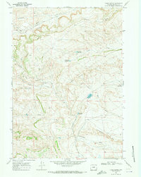
1968 · Three Buttes
USGS Topo · 1:24,000