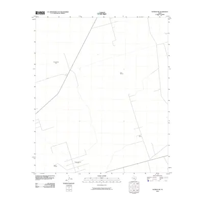
2010 Map of Notrees NW
USGS Topo · Published 2010About this map
The Kermit Sand Hills dominate the northern landscape of this Winkler County quadrangle, where the natural terrain of the Permian Basin meets the infrastructure of the Texas oil industry. Two major extraction areas, the Keystone Southeast Oil Field and the Circle Oil Field, are marked by a network of local access roads and pipelines that crisscross the high plains. Human presence in this arid environment is anchored by essential water sources like North Windmill, while transportation is facilitated by F M 874 and State Route 115. The map illustrates a specialized industrial landscape where ranching history and modern energy production overlap, defined by the practical requirements of the West Texas oil patch during the early 21st century.
Find a feature on this map
7 named features on this map. Tap any name to fly to it.
Don’t see what you’re looking for? This feature index may not catch every label — zoom into the map to look around manually.
Map Details
Editions of this 2010 Notrees NW Map
This is the sole edition of this map. No revisions or reprints were ever made.
Other maps of this area

1954 · Hobbs
USGS Topo · 1:250,000

1954 · Pecos
USGS Topo · 1:250,000

1957 · Pecos
USGS Topo · 1:250,000

1958 · Hobbs
USGS Topo · 1:250,000

1969 · Jal SE
USGS Topo · 1:24,000

1970 · Vesrue
USGS Topo · 1:24,000

1970 · Kermit
USGS Topo · 1:24,000

1971 · Notrees
USGS Topo · 1:24,000

1971 · Notrees NW
USGS Topo · 1:24,000

1971 · Bedford Ranch
USGS Topo · 1:24,000