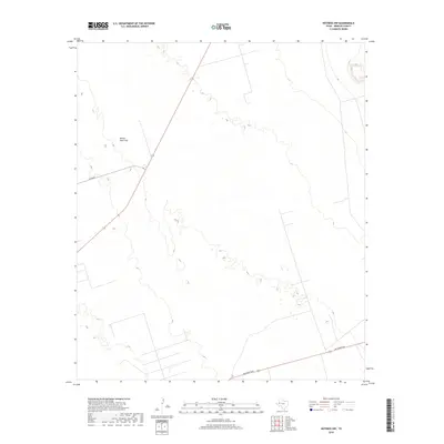
2019 Map of Notrees NW
USGS Topo · Published 2019About this map
Kermit Sand Hills dominates the topography of this corner of Winkler County, where shifting dunes and active geomorphology define the landscape. This 2019 survey captures a sparsely populated region of the Permian Basin, characterized by an extensive network of oil and gas access roads and pipelines that crisscross the sandy terrain. Human activity is largely limited to industrial infrastructure and transportation routes, including Jim Sharp Blvd in the southern reaches and N Fm 874 cutting across the northwest corner. The map provides a precise record of the elevation changes and landforms within the sand hills, illustrating the unique ecological and geological transition zone found just outside the town of Kermit.
Find a feature on this map
3 named features on this map. Tap any name to fly to it.
Don’t see what you’re looking for? This feature index may not catch every label — zoom into the map to look around manually.
Map Details
Editions of this 2019 Notrees NW Map
This is the sole edition of this map. No revisions or reprints were ever made.
Other maps of this area

1954 · Hobbs
USGS Topo · 1:250,000

1954 · Pecos
USGS Topo · 1:250,000

1957 · Pecos
USGS Topo · 1:250,000

1958 · Hobbs
USGS Topo · 1:250,000

1969 · Jal SE
USGS Topo · 1:24,000

1970 · Vesrue
USGS Topo · 1:24,000

1970 · Kermit
USGS Topo · 1:24,000

1971 · Notrees
USGS Topo · 1:24,000

1971 · Notrees NW
USGS Topo · 1:24,000

1971 · Bedford Ranch
USGS Topo · 1:24,000