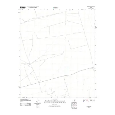
2010 Map of Notrees
USGS Topo · Published 2010About this map
Notrees stands as the primary geographic anchor in this West Texas landscape, characterized by its sparse settlement pattern and utilitarian infrastructure. The topographic data, derived from the 2008 National Elevation Dataset and NAIP imagery, reveals a terrain defined by subtle elevation changes and a network of service roads typical of the Permian Basin region. Transportation is concentrated along Co Rd 307 and S Wheeler Rd, which cross the arid expanse to connect local ranching and energy interests. This 2010 survey reflects the modern configuration of property boundaries and local transit routes in Winkler County, where the landscape is shaped more by industrial and agricultural use than by dense residential development.
Find a feature on this map
3 named features on this map. Tap any name to fly to it.
Don’t see what you’re looking for? This feature index may not catch every label — zoom into the map to look around manually.
Map Details
Editions of this 2010 Notrees Map
This is the sole edition of this map. No revisions or reprints were ever made.
Other maps of this area

1954 · Hobbs
USGS Topo · 1:250,000

1954 · Pecos
USGS Topo · 1:250,000

1957 · Pecos
USGS Topo · 1:250,000

1958 · Hobbs
USGS Topo · 1:250,000

1964 · Turnbaugh Corner
USGS Topo · 1:24,000

1964 · Red Lakes
USGS Topo · 1:24,000

1968 · Coyote Corner
USGS Topo · 1:24,000

1971 · Notrees
USGS Topo · 1:24,000

1971 · Notrees NW
USGS Topo · 1:24,000

1971 · Bedford Ranch
USGS Topo · 1:24,000