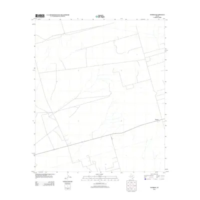
2012 Map of Notrees
USGS Topo · Published 2012About this map
Notrees stands as the primary namesake settlement in this arid corner of the Permian Basin, shown during a period of modern surveying by the U.S. Geological Survey. The landscape is defined by a utilitarian network of service roads and section lines, including Co Rd 307, which cut across the desert terrain. This 2012 data captures the sparsely populated character of the region, where the vast open spaces are punctuated only by the occasional road crossing or isolated structural point. For those tracing the evolution of West Texas land use, the map provides a clear look at the spatial distribution of these few named landmarks against a backdrop of complex hydrographic drainage patterns and subtle elevation changes.
Find a feature on this map
2 named features on this map. Tap any name to fly to it.
Don’t see what you’re looking for? This feature index may not catch every label — zoom into the map to look around manually.
Map Details
Editions of this 2012 Notrees Map
This is the sole edition of this map. No revisions or reprints were ever made.
Other maps of this area

1954 · Hobbs
USGS Topo · 1:250,000

1954 · Pecos
USGS Topo · 1:250,000

1957 · Pecos
USGS Topo · 1:250,000

1958 · Hobbs
USGS Topo · 1:250,000

1964 · Turnbaugh Corner
USGS Topo · 1:24,000

1964 · Red Lakes
USGS Topo · 1:24,000

1968 · Coyote Corner
USGS Topo · 1:24,000

1971 · Notrees
USGS Topo · 1:24,000

1971 · Notrees NW
USGS Topo · 1:24,000

1971 · Bedford Ranch
USGS Topo · 1:24,000