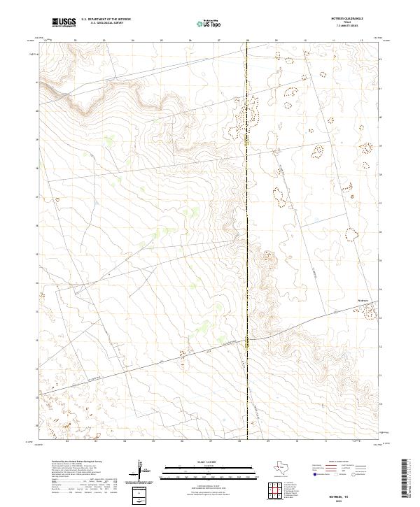
2022 Map of Notrees
USGS Topo · Published 2022About this map
The small West Texas community of Notrees sits at a crossroads in the Permian Basin, where the landscape is defined by the extraction industry and the expansive plains of the Llano Estacado. This 2022 survey documents the region's sparse settlement and specialized infrastructure, including thoroughfares like Jim Sharp Blvd and N Climarex Rd that serve the local oil and gas operations. The map clearly delineates the administrative divide at the Winkler Co / Ector Co boundary, a line that cuts through an otherwise continuous expanse of caliche roads and industrial sites.
Find a feature on this map
6 named features on this map. Tap any name to fly to it.
Don’t see what you’re looking for? This feature index may not catch every label — zoom into the map to look around manually.
Map Details
Editions of this 2022 Notrees Map
This is the sole edition of this map. No revisions or reprints were ever made.
Other maps of this area

1954 · Hobbs
USGS Topo · 1:250,000

1954 · Pecos
USGS Topo · 1:250,000

1957 · Pecos
USGS Topo · 1:250,000

1958 · Hobbs
USGS Topo · 1:250,000

1964 · Turnbaugh Corner
USGS Topo · 1:24,000

1964 · Red Lakes
USGS Topo · 1:24,000

1968 · Coyote Corner
USGS Topo · 1:24,000

1971 · Notrees
USGS Topo · 1:24,000

1971 · Notrees NW
USGS Topo · 1:24,000

1971 · Bedford Ranch
USGS Topo · 1:24,000