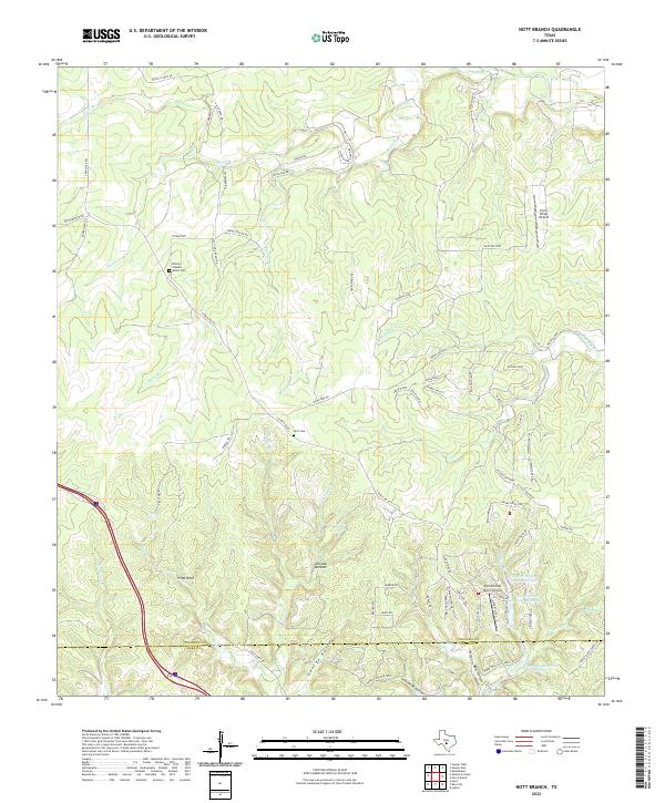
2022 Map of Nott Branch
USGS Topo · Published 2022About this map
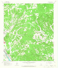
The Gillespie and Kerr county line cuts through this section of the Texas Hill Country, where deep-cut drainages like Nott Branch and Spanish Oak Creek define the landscape. Small family ranching legacies are visible at the Brown-Stevens Ranch Cemetery and the Peril Cemetery, markers of the rural heritage along the S Ranch Rd 783 corridor. The terrain is marked by distinctive formations such as Pillar Rock and the low-lying Johnson Bottom near Goat Creek. Modern development is reflected in the private aviation infrastructure of the Silver Wings Airport and Tierra Linda Ranch Airport, alongside water management features including the Tierra Linda Upper Reservoir and Tierra Linda Lower Reservoir. The winding network of roads like Edgar Fiedler Rd and Windy Ridge Rd follows the contours of Cedar Ridge and numerous hollows.
Find a feature on this map
78 named features on this map. Tap any name to fly to it.
Don’t see what you’re looking for? This feature index may not catch every label — zoom into the map to look around manually.
Map Details
Editions of this 2022 Nott Branch Map
This is the sole edition of this map. No revisions or reprints were ever made.
Other maps of this area

1894 · Kerrville
USGS Topo · 1:125,000

1954 · Llano
USGS Topo · 1:250,000

1955 · Llano
USGS Topo · 1:250,000

1956 · Llano
USGS Topo · 1:250,000

1964 · Morris Ranch
USGS Topo · 1:24,000

1964 · Nott Branch
USGS Topo · 1:24,000
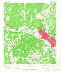
1964 · Kerrville
USGS Topo · 1:24,000
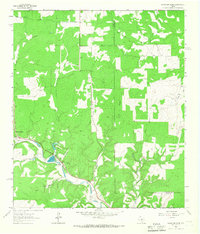
1964 · Mountain Home
USGS Topo · 1:24,000
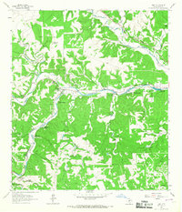
1964 · Hunt
USGS Topo · 1:24,000
1964 · Legion
USGS Topo · 1:24,000