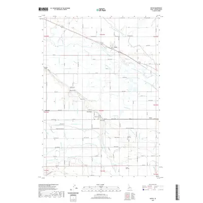
2020 Map of Notus
USGS Topo · Published 2020About this map
The Boise River carves a winding path through this western Idaho landscape, supporting a complex network of agricultural irrigation in Canyon County. Smaller communities like Notus and Greenleaf anchor a grid of rural homesteads and farm roads, while the Union Pacific Railroad parallels the river, facilitating the transport of regional produce. The map illustrates the intensive water management of the Snake River Plain, showing an intricate system of laterals and drains such as the Mora Canal Extension, Phyllis Canal, and Golden Gate Canal.
Find a feature on this map
113 named features on this map. Tap any name to fly to it.
Don’t see what you’re looking for? This feature index may not catch every label — zoom into the map to look around manually.
Map Details
Editions of this 2020 Notus Map
This is the sole edition of this map. No revisions or reprints were ever made.
Other maps of this area

1898 · Nampa
USGS Topo · 1:125,000

1955 · Boise
USGS Topo · 1:250,000

1957 · Wilder
USGS Topo · 1:24,000

1957 · Notus
USGS Topo · 1:24,000

1958 · Boise
USGS Topo · 1:250,000
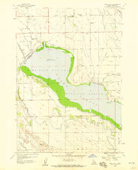
1958 · Lake Lowell
USGS Topo · 1:24,000
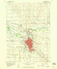
1958 · Caldwell
USGS Topo · 1:24,000

1958 · Homedale
USGS Topo · 1:24,000
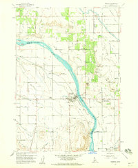
1958 · Marsing
USGS Topo · 1:24,000

1962 · Boise
USGS Topo · 1:250,000