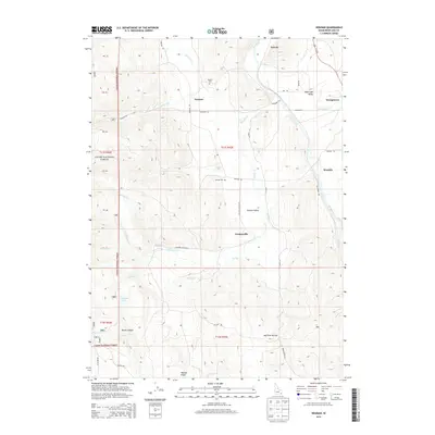
2013 Map of Nounan
USGS Topo · Published 2013About this map
Nounan Valley and the Bear Lake Valley converge in this corner of Idaho, where the western slopes of the Cache National Forest meet high-country ranching land. Small agricultural settlements like Nounan, Lindsayville, and Woolleys are spaced along the valley floors, connected by a network of rural roads such as Nounan Rd and Creamery Ln. The drainage of Stauffer Cr and its various forks creates a complex system of draws and ridges, including Poulsen Ridge and the steep terrain of North Canyon.
Find a feature on this map
48 named features on this map. Tap any name to fly to it.
Don’t see what you’re looking for? This feature index may not catch every label — zoom into the map to look around manually.
Map Details
Editions of this 2013 Nounan Map
This is the sole edition of this map. No revisions or reprints were ever made.
Other maps of this area

1909 · Montpelier
USGS Topo · 1:125,000

1911 · Montpelier
USGS Topo · 1:125,000

1911 · Slug Creek
USGS Topo · 1:62,500

1915 · Preston
USGS Topo · 1:96,000

1918 · Preston
USGS Topo · 1:125,000

1948 · Soda Springs
USGS Topo · 1:62,500

1949 · Soda Springs
USGS Topo · 1:62,500

1955 · Preston
USGS Topo · 1:250,000

1958 · Preston
USGS Topo · 1:250,000

1962 · Preston
USGS Topo · 1:250,000