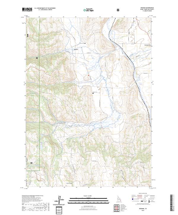
2023 Map of Nounan
USGS Topo · Published 2023About this map
Nounan and Georgetown anchor this Bear Lake County landscape, where the valley floor meets the rising slopes of the surrounding ranges. The settlement pattern follows the drainage of Skinner Creek, reflecting the importance of water access for agriculture and grazing in this part of southeastern Idaho. The map reveals the relationship between these small communities and the broader rural geography, showing the transition from concentrated village sites to the open lands beyond. Researchers of the region's development can trace the local road networks and land divisions that have structured life in this valley since its early settlement, providing a clear view of the area's modern-day layout while preserving the names of its foundational communities.
Find a feature on this map
3 named features on this map. Tap any name to fly to it.
Don’t see what you’re looking for? This feature index may not catch every label — zoom into the map to look around manually.
Map Details
Editions of this 2023 Nounan Map
This is the sole edition of this map. No revisions or reprints were ever made.
Other maps of this area

1909 · Montpelier
USGS Topo · 1:125,000

1911 · Montpelier
USGS Topo · 1:125,000

1911 · Slug Creek
USGS Topo · 1:62,500

1915 · Preston
USGS Topo · 1:96,000

1918 · Preston
USGS Topo · 1:125,000

1948 · Soda Springs
USGS Topo · 1:62,500

1949 · Soda Springs
USGS Topo · 1:62,500

1955 · Preston
USGS Topo · 1:250,000

1958 · Preston
USGS Topo · 1:250,000

1962 · Preston
USGS Topo · 1:250,000