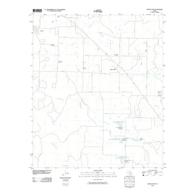
2010 Map of Novice East
USGS Topo · Published 2010About this map
Silver Valley and the eastern edge of Novice anchor this landscape in Coleman County, where the plains are defined by a network of seasonal watercourses and local infrastructure. The terrain is marked by the Bachelor Prong and Rough Creek, which feed into numerous water management structures including the Soil Conservation Service Site 33 Reservoir and Santa Fe Lake. This area reflects the essential Texas intersection of ranching and energy, evidenced by the Burroughs Oil Field located central to the quadrangle. Local history is preserved in several burial grounds such as Rough Creek Cemetery, Silver Valley Cemetery, and Mountview Cemetery. To the east, the elevation rises toward Robinson Peak, a distinct topographical feature overlooking the drainages of Turtle Bayou and Indian Creek. The map provides a look at the rural road system, from farm-to-market routes like FM 702 to the named White Chapel Rd.
Find a feature on this map
46 named features on this map. Tap any name to fly to it.
Don’t see what you’re looking for? This feature index may not catch every label — zoom into the map to look around manually.
Map Details
Editions of this 2010 Novice East Map
This is the sole edition of this map. No revisions or reprints were ever made.
Other maps of this area

1887 · Coleman
USGS Topo · 1:125,000

1889 · Coleman
USGS Topo · 1:125,000

1890 · Abilene
USGS Topo · 1:125,000

1892 · Abilene
USGS Topo · 1:125,000

1892 · Ballinger
USGS Topo · 1:125,000

1931 · Baird
USGS Topo · 1:125,000

1932 · Baird
USGS Topo · 1:125,000

1954 · Brownwood
USGS Topo · 1:250,000

1954 · Abilene
USGS Topo · 1:250,000

1958 · Abilene
USGS Topo · 1:250,000