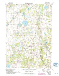
1974 Map of Nowthen
USGS Topo · Published 1993About this map
Pickerel Lake and Bass Lake anchor the central landscape of this Minnesota survey, illustrating a region defined by its dense network of kettle lakes and wetlands during the mid-1970s. The settlement of Nowthen is a focal point for local history, featuring the Lakeview Cem and the Townhall. The eastern portion of the map follows the winding path of the Rum River, where Rum River Central Park and the Faherty Bridge mark the transition between natural riparian areas and expanding township boundaries. To the south, the Trott Brook corridor reveals early developments in Ramsey, including the Trott Brook Ch and its associated Trott Brook Cem. This record of the Anoka County landscape captures the area's transition toward modern residential patterns while still preserving many of its gravel pits and agricultural origins.
Find a feature on this map
45 named features on this map. Tap any name to fly to it.
Don’t see what you’re looking for? This feature index may not catch every label — zoom into the map to look around manually.
Map Details
Editions of this 1974 Nowthen Map
2 editions found
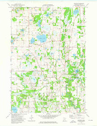
Other maps of this area

1902 · Anoka
USGS Topo · 1:62,500

1909 · Rockford
USGS Topo · 1:62,500

1916 · St. Francis
USGS Topo · 1:62,500

1919 · St. Francis
USGS Topo · 1:62,500

1953 · Stillwater
USGS Topo · 1:250,000

1955 · Anoka
USGS Topo · 1:24,000

1955 · Coon Rapids
USGS Topo · 1:24,000

1955 · Anoka
USGS Topo · 1:62,500

1955 · Stillwater
USGS Topo · 1:250,000

1958 · Stillwater
USGS Topo · 1:250,000