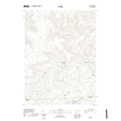
2019 Map of Noxen
USGS Topo · Published 2019About this map
Noxen serves as a central point in this topographic study of the Wyoming and Luzerne County border, where the village is situated at the confluence of several mountain drainages. The landscape is defined by its deep hollows and high ridges, including Schooley Mtn and North Mtn, which frame the winding path of Bowman Creek. This waterway and its many tributaries, such as Hettesheimer Run and Beaver Run, dictate the placement of roads and small settlements like Stull and Evans Falls.
Find a feature on this map
59 named features on this map. Tap any name to fly to it.
Don’t see what you’re looking for? This feature index may not catch every label — zoom into the map to look around manually.
Map Details
Editions of this 2019 Noxen Map
This is the sole edition of this map. No revisions or reprints were ever made.
Other maps of this area

1891 · Harveys Lake
USGS Topo · 1:62,500

1893 · Harvey Lake
USGS Topo · 1:62,500

1893 · Pittston
USGS Topo · 1:62,500

1943 · Scranton
USGS Topo · 1:125,000

1945 · Meshoppen
USGS Topo · 1:62,500

1945 · Jenningsville
USGS Topo · 1:24,000

1945 · Meshoppen
USGS Topo · 1:24,000

1946 · Tunkhannock
USGS Topo · 1:62,500

1946 · Kingston
USGS Topo · 1:24,000

1946 · Dutch Mtn
USGS Topo · 1:24,000
Featured Places
- Dallas Township, PA
- Harveys Lake, PA
- Noxen Township, PA
- Forkston Township, PA
- Evans Falls, Monroe Township