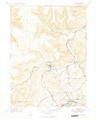
1949 Map of Noxen
USGS Topo · Published 1949About this map
Noxen serves as the focal point of this mountainous region in Wyoming and Luzerne counties, situated at the confluence of Bowman Creek and Hettesheimer Run. During the late 1940s, the landscape was defined by sharp ridges and deep creek valleys, with the Lehigh Valley line cutting through the terrain to support local commerce. The settlement pattern follows the waterways, from the small community of Stull to the larger Alderson area near the shores of Harvey Lake.
Find a feature on this map
40 named features on this map. Tap any name to fly to it.
Don’t see what you’re looking for? This feature index may not catch every label — zoom into the map to look around manually.
Map Details
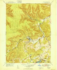
Editions of this 1949 Noxen Map
2 editions found
Other maps of this area

1891 · Harveys Lake
USGS Topo · 1:62,500

1893 · Harvey Lake
USGS Topo · 1:62,500

1893 · Pittston
USGS Topo · 1:62,500

1943 · Scranton
USGS Topo · 1:125,000

1945 · Meshoppen
USGS Topo · 1:62,500

1945 · Jenningsville
USGS Topo · 1:24,000

1945 · Meshoppen
USGS Topo · 1:24,000

1946 · Tunkhannock
USGS Topo · 1:62,500

1946 · Kingston
USGS Topo · 1:24,000

1946 · Dutch Mtn
USGS Topo · 1:24,000