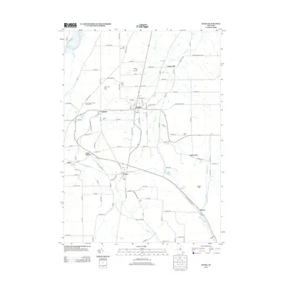
2013 Map of Nunda
USGS Topo · Published 2013About this map
Nunda and its surrounding hamlets are defined by the winding course of Keshequa Cr as it carves through the Livingston County landscape. The settlement patterns reflect a deep history of agricultural and local industry, particularly evident in the presence of Cheese Factory Rd south of Dalton, signaling the area's once-vibrant dairy economy. The map is notably dense with burial sites that serve as anchors for local genealogy, ranging from the large Oakwood Cem to the secluded Colonel George Williams and Family Cem near Oakland.
Find a feature on this map
106 named features on this map. Tap any name to fly to it.
Don’t see what you’re looking for? This feature index may not catch every label — zoom into the map to look around manually.
Map Details
Editions of this 2013 Nunda Map
This is the sole edition of this map. No revisions or reprints were ever made.
Other maps of this area

1905 · Portage
USGS Topo · 1:62,500

1905 · Nunda
USGS Topo · 1:62,500

1906 · Angelica
USGS Topo · 1:62,500

1916 · Canaseraga
USGS Topo · 1:62,500

1940 · Canaseraga
USGS Topo · 1:62,500

1941 · Angelica
USGS Topo · 1:62,500

1943 · Mount Morris
USGS Topo · 1:24,000

1943 · Sonyea
USGS Topo · 1:24,000

1943 · Nunda
USGS Topo · 1:24,000

1943 · Ossian
USGS Topo · 1:24,000