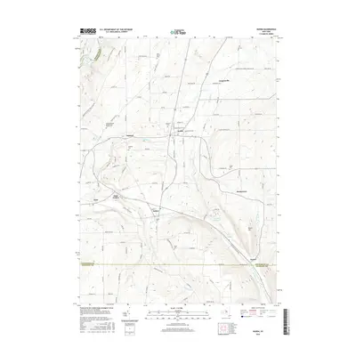
2016 Map of Nunda
USGS Topo · Published 2016About this map
Nunda sits at the heart of this Livingston County landscape, where the waters of Keshequa Cr carve a path through the terrain toward the Genesee River valley. The map documents a cluster of settlements including Oakland, Dalton, and Hunt, each connected by a network of rural roads that cross county lines into Wyoming and Allegany. This 2016 survey is particularly valuable for genealogical research, as it identifies several family-named and local burial grounds such as the Colonel George Williams And Family Cem, Saint Helena Cem, and Jones Cem. To the southeast, the Nunda Reservoir and the heights of Round Top overlook the village of Rosses near Canaseraga Cr. The western edge of the quadrangle highlights the boundary of Letchworth State Park, featuring the Letchworth State Park Trail and Park Rd along the river bluffs.
Find a feature on this map
107 named features on this map. Tap any name to fly to it.
Don’t see what you’re looking for? This feature index may not catch every label — zoom into the map to look around manually.
Map Details
Editions of this 2016 Nunda Map
This is the sole edition of this map. No revisions or reprints were ever made.
Other maps of this area

1905 · Portage
USGS Topo · 1:62,500

1905 · Nunda
USGS Topo · 1:62,500

1906 · Angelica
USGS Topo · 1:62,500

1916 · Canaseraga
USGS Topo · 1:62,500

1940 · Canaseraga
USGS Topo · 1:62,500

1941 · Angelica
USGS Topo · 1:62,500

1943 · Mount Morris
USGS Topo · 1:24,000

1943 · Sonyea
USGS Topo · 1:24,000

1943 · Nunda
USGS Topo · 1:24,000

1943 · Ossian
USGS Topo · 1:24,000