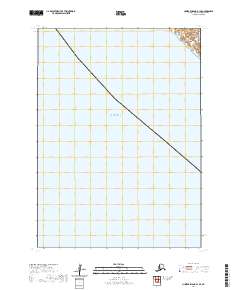
2020 Map of Nunivak Island B-1 SE
USGS Topo · Published 2020About this map
The Bering Sea dominates this 2020 topographic study of the waters surrounding Nunivak Island within the Bethel Census Area. The map depicts a nearly entirely maritime environment, focusing on the offshore reaches of the eastern Bering Sea. It serves primarily as a hydrographic and public land survey record, delineated by the t3n r91w township and range grid. This specific section of the Bering Sea shows the bathymetric and maritime boundary context for the island's coastal periphery. While land features are absent in this specific quadrangle, the survey provides precise spatial coordinates and maritime data points essential for understanding the remote western Alaskan coast.
Find a feature on this map
2 named features on this map. Tap any name to fly to it.
Don’t see what you’re looking for? This feature index may not catch every label — zoom into the map to look around manually.
Map Details
Editions of this 2020 Nunivak Island B-1 SE Map
This is the sole edition of this map. No revisions or reprints were ever made.
Other maps of this area

1951 · Nunivak Island
USGS Topo · 1:250,000

1951 · Baird Inlet
USGS Topo · 1:250,000

1954 · Nunivak Island
USGS Topo · 1:250,000

1954 · Baird Inlet
USGS Topo · 1:250,000

1954 · Nunivak Island B-1
USGS Topo · 1:63,360

1954 · Baird Inlet B-8
USGS Topo · 1:63,360

1958 · Nunivak Island
USGS Topo · 1:250,000

1964 · Nunivak Island
USGS Topo · 1:250,000
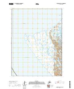
2020 · Nunivak Island B-1 NE
USGS Topo · 1:25,000
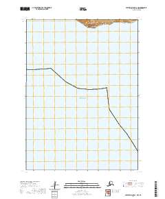
2020 · Nunivak Island B-1 NW
USGS Topo · 1:25,000