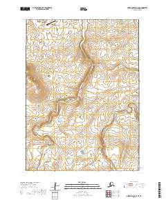
2020 Map of Nunivak Island B-4 SE
USGS Topo · Published 2020About this map
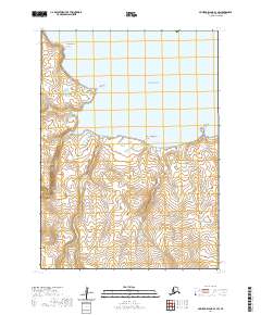
Mekoryuk sits at the northern edge of this coastal landscape, serving as the primary habitation site on this portion of Nunivak Island. The settlement's connection to the wider world is facilitated by the Mekoryuk Airport, which overlooks the Bering Sea. The geography is defined by the winding course of the Mekoryuk River, which drains the interior uplands and flows past the village. The terrain rises into several prominent high points, including the Kimikthak Hills to the northeast and the Ingrijoak Hills to the southwest. This 2020 survey illustrates the isolation and strategic placement of the island's single community, showing how the local population is situated between the tundra hills and the essential waterway that shares its name.
Find a feature on this map
10 named features on this map. Tap any name to fly to it.
Don’t see what you’re looking for? This feature index may not catch every label — zoom into the map to look around manually.
Map Details
Editions of this 2020 Nunivak Island B-4 SE Map
This is the sole edition of this map. No revisions or reprints were ever made.
Other maps of this area

1951 · Nunivak Island
USGS Topo · 1:250,000

1952 · Nunivak Island A-4
USGS Topo · 1:63,360

1952 · Nunivak Island A-3
USGS Topo · 1:63,360
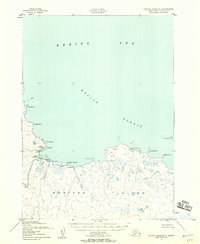
1952 · Nunivak Island B-3
USGS Topo · 1:63,360
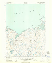
1952 · Nunivak Island B-4
USGS Topo · 1:63,360

1954 · Nunivak Island
USGS Topo · 1:250,000

1958 · Nunivak Island
USGS Topo · 1:250,000

1964 · Nunivak Island
USGS Topo · 1:250,000
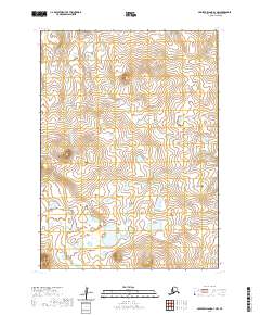
2020 · Nunivak Island A-3 NW
USGS Topo · 1:25,000
2020 · Nunivak Island B-3 SW
USGS Topo · 1:25,000