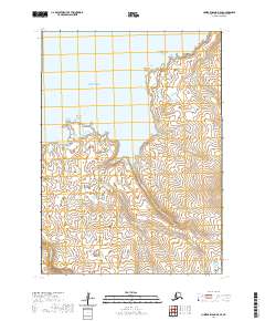
2020 Map of Nunivak Island B-5 SE
USGS Topo · Published 2020About this map
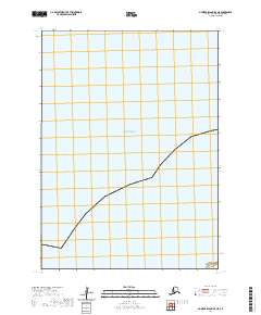
Nunivak Island coastal terrain meets the Bering Sea along this 2020 landscape survey. The coastal geography is defined by prominent seafaring landmarks such as Oronikowaktalik Rock, Ahnowliksat Rocks, and Kikoojit Rocks which dot the nearshore waters. Inland, the hydrology of the island is dominated by the westward-flowing Kahniruk River and the Nariksmiut River, alongside numerous small drainages like Nigikmiut Cr and Gungnoruk Cr. This modern data shows a complex network of wetlands and tidal influences near Dahtkit Cove, illustrating how the island’s freshwater systems reach the sea. The absence of roads or permanent settlements in this section of the island emphasizes the wilderness character of the Bethel Census Area at this moment in history.
Find a feature on this map
15 named features on this map. Tap any name to fly to it.
Don’t see what you’re looking for? This feature index may not catch every label — zoom into the map to look around manually.
Map Details
Editions of this 2020 Nunivak Island B-5 SE Map
This is the sole edition of this map. No revisions or reprints were ever made.
Other maps of this area

1951 · Nunivak Island
USGS Topo · 1:250,000

1952 · Nunivak Island A-4
USGS Topo · 1:63,360

1952 · Nunivak Island A-5
USGS Topo · 1:63,360
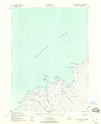
1952 · Nunivak Island B-5
USGS Topo · 1:63,360
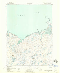
1952 · Nunivak Island B-4
USGS Topo · 1:63,360

1954 · Nunivak Island
USGS Topo · 1:250,000

1958 · Nunivak Island
USGS Topo · 1:250,000

1964 · Nunivak Island
USGS Topo · 1:250,000
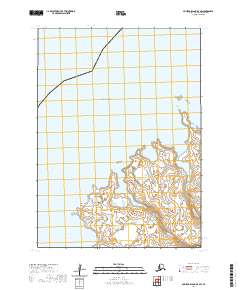
2020 · Nunivak Island B-5 SW
USGS Topo · 1:25,000
2020 · Nunivak Island B-5 NE
USGS Topo · 1:25,000