
1954 Map of Nunivak Island C-1
USGS Topo · Published 1971About this map
Nelson Island is defined by a series of prominent peaks and coastal settlements along the Bering Sea in the mid-1950s. The village of Tanunak, located on its namesake Tanunak Bay, serves as a primary coastal hub, while Toksook Bay appears with its essential Landing Strip and proximity to the North Fork Toksook River. The interior is dominated by heights such as Kilinupak Mountain, Ugchirnak Mountain, and Nealruk Mountain, which overlook a network of waterways including the Ikalugtulik River and Alakurhak River. The coastline is heavily articulated with geographic markers like Cape Vancouver, Chinit Point, and Talurarevuk Point. This survey captures the traditional landscape of the Qaluyaarmiut people, documented during an era of expanding civil infrastructure, including the seasonal Nililugruk and various Cabins scattered near the shores of Hazen Bay.
Find a feature on this map
22 named features on this map. Tap any name to fly to it.
Don’t see what you’re looking for? This feature index may not catch every label — zoom into the map to look around manually.
Map Details
Editions of this 1954 Nunivak Island C-1 Map
This is the sole edition of this map. No revisions or reprints were ever made.
Other maps of this area

1951 · Nunivak Island
USGS Topo · 1:250,000

1951 · Baird Inlet
USGS Topo · 1:250,000
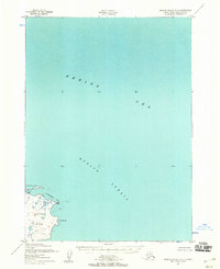
1952 · Nunivak Island B-2
USGS Topo · 1:63,360

1954 · Nunivak Island
USGS Topo · 1:250,000

1954 · Baird Inlet
USGS Topo · 1:250,000

1954 · Baird Inlet C-8
USGS Topo · 1:63,360

1954 · Baird Inlet D-8
USGS Topo · 1:63,360

1954 · Nunivak Island B-1
USGS Topo · 1:63,360

1954 · Baird Inlet B-8
USGS Topo · 1:63,360
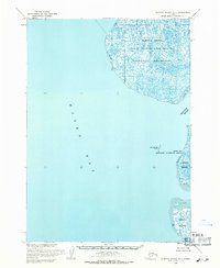
1954 · Nunivak Island D-1
USGS Topo · 1:63,360