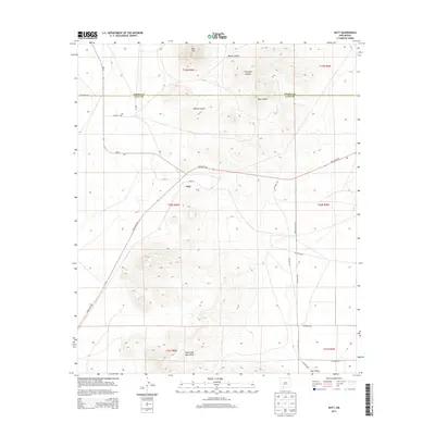
2013 Map of Nutt
USGS Topo · Published 2013About this map
The high desert landscape of Nutt is defined by its position at the intersection of NM-27 and Hatch Hwy Ne. This 2013 survey illustrates a sparsely populated corner of the Southwest, where the small settlement at Nutt is anchored by its Po (Post Office) and serves as a waypoint for travelers and ranching interests in northern Luna County. The terrain is dominated by the dramatic rise of Nutt Mtn to the north and the sprawling Good Sight Mountains to the south, which overlook the arid expanse of the Uvas Valley.
Find a feature on this map
26 named features on this map. Tap any name to fly to it.
Don’t see what you’re looking for? This feature index may not catch every label — zoom into the map to look around manually.
Map Details
Editions of this 2013 Nutt Map
This is the sole edition of this map. No revisions or reprints were ever made.
Other maps of this area

1899 · Deming
USGS Topo · 1:125,000

1915 · Deming
USGS Topo · 1:125,000

1955 · Las Cruces
USGS Topo · 1:250,000

1958 · Las Cruces
USGS Topo · 1:250,000

1958 · Arroyo Cuervo
USGS Topo · 1:24,000

1961 · Nutt
USGS Topo · 1:62,500

1962 · Lake Valley
USGS Topo · 1:62,500

1964 · Florida
USGS Topo · 1:24,000

1972 · Good Sight Peak NE
USGS Topo · 1:24,000

1972 · Good Sight Peak
USGS Topo · 1:24,000