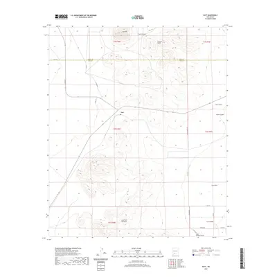
2020 Map of Nutt
USGS Topo · Published 2020About this map
Nutt sits at a crossroads in the high desert, positioned near the boundary where the Good Sight Mountains rise from the arid plains. This 2020 survey of the border region between Sierra and Luna counties illustrates a landscape of deep drainages and volcanic peaks. The isolated settlement is overshadowed by the nearby summit of Nutt Mtn, while to the east, the Uvas Valley opens into a broad basin. The topography is defined by significant erosion patterns, with Duran Canyon, Thirtysix Canyon, and Blue Canyon carving through the uplifted terrain. Transport in this modern era remains tethered to a network of established county routes, such as Uvas Valley Rd NE and Cristian Rd, which navigate the rugged transitions between the mountain slopes and the agricultural valley floor.
Find a feature on this map
26 named features on this map. Tap any name to fly to it.
Don’t see what you’re looking for? This feature index may not catch every label — zoom into the map to look around manually.
Map Details
Editions of this 2020 Nutt Map
This is the sole edition of this map. No revisions or reprints were ever made.
Other maps of this area

1899 · Deming
USGS Topo · 1:125,000

1915 · Deming
USGS Topo · 1:125,000

1955 · Las Cruces
USGS Topo · 1:250,000

1958 · Las Cruces
USGS Topo · 1:250,000

1958 · Arroyo Cuervo
USGS Topo · 1:24,000

1961 · Nutt
USGS Topo · 1:62,500

1962 · Lake Valley
USGS Topo · 1:62,500

1964 · Florida
USGS Topo · 1:24,000

1972 · Good Sight Peak NE
USGS Topo · 1:24,000

1972 · Good Sight Peak
USGS Topo · 1:24,000