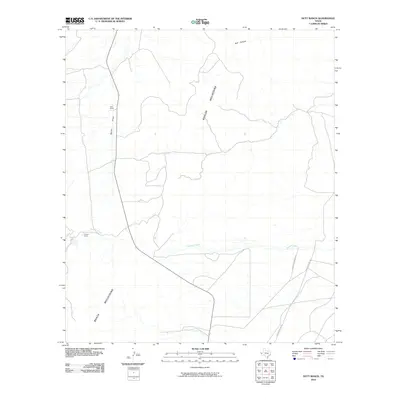
2010 Map of Nutt Ranch
USGS Topo · Published 2010About this map
Baylor Mountains and the Beach Mountains dominate this high-desert landscape in Culberson County, defining a rugged corridor for local transit and livestock operations. The topography is shaped by significant natural drainage systems, including Sulphur Creek, which cuts across the lower terrain, and Baylor Draw further north. Settlement is sparse and focused on ranching infrastructure, such as the Nutt Ranch and Puckett Ranch, which serve as the primary landmarks in this arid region. The network of unpaved access routes, such as Whitehead Ranch Rd, illustrates the isolation and specialized land use of the Trans-Pecos. This 2010 survey reflects a landscape largely unchanged in its fundamental character, where water features like Bull Canyon remain the most critical geographic markers for those navigating the basin.
Find a feature on this map
9 named features on this map. Tap any name to fly to it.
Don’t see what you’re looking for? This feature index may not catch every label — zoom into the map to look around manually.
Map Details
Editions of this 2010 Nutt Ranch Map
This is the sole edition of this map. No revisions or reprints were ever made.
Other maps of this area

1906 · Van Horn
USGS Topo · 1:125,000

1954 · Van Horn
USGS Topo · 1:250,000

1958 · Van Horn
USGS Topo · 1:250,000

1964 · Wild Horse
USGS Topo · 1:24,000
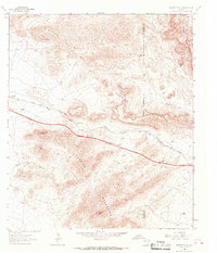
1964 · Hackett Peak
USGS Topo · 1:24,000

1964 · Watson Ranch
USGS Topo · 1:24,000

1964 · Van Horn
USGS Topo · 1:24,000
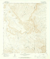
1964 · Sheep Peak
USGS Topo · 1:24,000
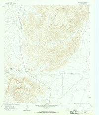
1964 · Nutt Ranch
USGS Topo · 1:24,000

1972 · Square Mesa
USGS Topo · 1:24,000