
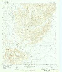
1972 Map of Square Mesa
USGS Topo · Published 1976About this map
The Baylor Mountains rise in the southwestern corner of this landscape, contrasting with the wide, arid stretch labeled simply as a ( Depression ) across the central portion of the quadrangle. In this high-desert environment of West Texas, the presence of isolated water sources like Hammett Well, Stark North Well, and Brush Wells points to the vital infrastructure required for cattle ranching and land management in the early 1970s.
Find a feature on this map
8 named features on this map. Tap any name to fly to it.
Don’t see what you’re looking for? This feature index may not catch every label — zoom into the map to look around manually.
Map Details
Editions of this 1972 Square Mesa Map
This is the sole edition of this map. No revisions or reprints were ever made.
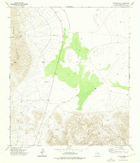
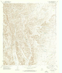
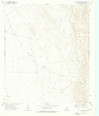
Other maps of this area

1906 · Van Horn
USGS Topo · 1:125,000

1954 · Van Horn
USGS Topo · 1:250,000

1958 · Van Horn
USGS Topo · 1:250,000

1964 · Goat Canyon
USGS Topo · 1:24,000

1964 · Watson Ranch
USGS Topo · 1:24,000
1964 · Nutt Ranch
USGS Topo · 1:24,000

1972 · Seven Heart Gap
USGS Topo · 1:24,000
1973 · Victorio Peak
USGS Topo · 1:24,000
1973 · Delaware Ranch
USGS Topo · 1:24,000
1973 · Seven Heart Gap NW
USGS Topo · 1:24,000