
1964 Map of Watson Ranch
USGS Topo · Published 1967About this map
The Baylor Mountains rise sharply in the northwestern corner of this West Texas landscape, giving way to the broad alluvial plains of the Wild Horse Creek drainage. In the mid-1960s, this portion of Culberson County was defined by a sparse ranching infrastructure focused on water access, as seen at the Medley Double Wells and the namesake Watson Ranch. Numerous individual wells are scattered throughout the territory, marking the essential points of survival in an arid environment where Sulphur Creek cuts through the western flats. A remote Landing Strip and a network of Jeep Trails suggest a landscape where traditional ranching met mid-century aviation and rugged vehicle transport. The terrain is further punctuated by solitary landmarks like Bean, situated north of the main creek bed.
Find a feature on this map
10 named features on this map. Tap any name to fly to it.
Don’t see what you’re looking for? This feature index may not catch every label — zoom into the map to look around manually.
Map Details
Editions of this 1964 Watson Ranch Map
This is the sole edition of this map. No revisions or reprints were ever made.
Other maps of this area

1906 · Van Horn
USGS Topo · 1:125,000

1954 · Van Horn
USGS Topo · 1:250,000

1958 · Van Horn
USGS Topo · 1:250,000
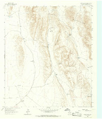
1964 · Goat Canyon
USGS Topo · 1:24,000

1964 · Wild Horse
USGS Topo · 1:24,000

1964 · Van Horn
USGS Topo · 1:24,000
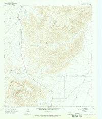
1964 · Nutt Ranch
USGS Topo · 1:24,000
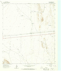
1964 · Plateau
USGS Topo · 1:24,000

1972 · Seven Heart Gap
USGS Topo · 1:24,000

1972 · Square Mesa
USGS Topo · 1:24,000