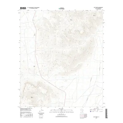
2016 Map of Nutt Ranch
USGS Topo · Published 2016About this map
Nutt Ranch sits at the foot of high high-desert peaks in Culberson County, marking a site of enduring Texas ranching tradition. The terrain here is defined by the elevation changes between the Baylor Mountains and the Beach Mountains, creating a landscape carved by ephemeral drainages such as Baylor Draw and Sulphur Cr. These seasonal watercourses are central to the region's geography, dictating the placement of primitive roads and infrastructure. Modern access to these working lands is provided by routes like Whitehead Ranch Rd and Whitehead Hq Rd, which navigate the rugged flats between the canyons. The presence of Bull Canyon further illustrates the complex topography that has historically shaped land use and ranch boundaries in this part of West Texas.
Find a feature on this map
8 named features on this map. Tap any name to fly to it.
Don’t see what you’re looking for? This feature index may not catch every label — zoom into the map to look around manually.
Map Details
Editions of this 2016 Nutt Ranch Map
This is the sole edition of this map. No revisions or reprints were ever made.
Other maps of this area

1906 · Van Horn
USGS Topo · 1:125,000

1954 · Van Horn
USGS Topo · 1:250,000

1958 · Van Horn
USGS Topo · 1:250,000

1964 · Wild Horse
USGS Topo · 1:24,000
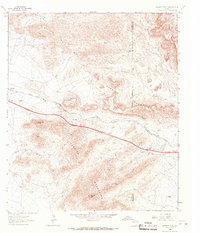
1964 · Hackett Peak
USGS Topo · 1:24,000

1964 · Watson Ranch
USGS Topo · 1:24,000

1964 · Van Horn
USGS Topo · 1:24,000
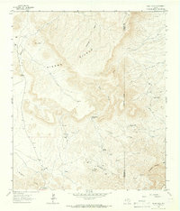
1964 · Sheep Peak
USGS Topo · 1:24,000
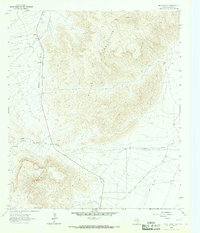
1964 · Nutt Ranch
USGS Topo · 1:24,000

1972 · Square Mesa
USGS Topo · 1:24,000