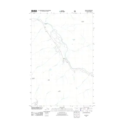
2011 Map of Nyack
USGS Topo · Published 2011About this map
The Middle Fork Flathead River carves a deep valley through this corner of the Rocky Mountains, serving as the central artery for transportation and settlement in the early twenty-first century. The small community of Nyack is positioned along the river corridor, accompanied by the Red Eagle settlement to the southeast. These pockets of human activity are dwarfed by the massive peaks that define the area, including Loneman Mountain and Nyack Mountain, which rise sharply from the valley floor.
Find a feature on this map
25 named features on this map. Tap any name to fly to it.
Don’t see what you’re looking for? This feature index may not catch every label — zoom into the map to look around manually.
Map Details
Editions of this 2011 Nyack Map
This is the sole edition of this map. No revisions or reprints were ever made.
Other maps of this area

1904 · Chief Mountain
USGS Topo · 1:125,000

1914 · Nyack
USGS Topo · 1:125,000

1938 · Chief Mountain
USGS Topo · 1:125,000

1960 · Cut Bank
USGS Topo · 1:250,000

1963 · Cut Bank
USGS Topo · 1:250,000

1964 · Cut Bank
USGS Topo · 1:250,000

1964 · Nyack
USGS Topo · 1:24,000

1964 · Pinnacle
USGS Topo · 1:24,000

1964 · Stanton Lake
USGS Topo · 1:24,000
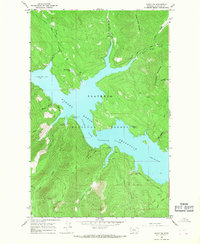
1964 · Nyack SW
USGS Topo · 1:24,000