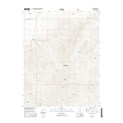
2014 Map of Nyala
USGS Topo · Published 2014About this map
Nyala stands at the northwestern edge of this high-altitude basin where the valley floor meets the steep rise of the Quinn Canyon Range. Located within the Humboldt National Forest, the landscape is defined by dramatic elevation changes, culminating at Troy Mtn. The hydrology of this arid environment is captured through a series of seasonal drainages and essential water sources, including Monitor Spring and Grouse Spring, which have historically supported life in the high desert.
Find a feature on this map
27 named features on this map. Tap any name to fly to it.
Don’t see what you’re looking for? This feature index may not catch every label — zoom into the map to look around manually.
Map Details
Editions of this 2014 Nyala Map
This is the sole edition of this map. No revisions or reprints were ever made.
Other maps of this area

1956 · Lund
USGS Topo · 1:250,000

1960 · Lund
USGS Topo · 1:250,000

1964 · Troy Canyon
USGS Topo · 1:62,500

1968 · The Wall
USGS Topo · 1:62,500
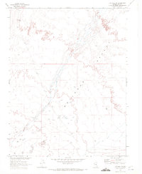
1968 · The Wall SE
USGS Topo · 1:24,000

1985 · Adaven
USGS Topo · 1:24,000
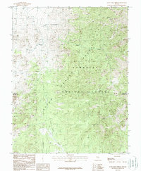
1985 · Goat Ranch Springs
USGS Topo · 1:24,000
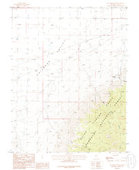
1985 · Big Creek Ranch
USGS Topo · 1:24,000
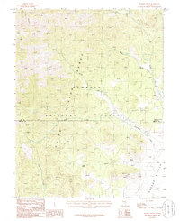
1985 · Badger Gulch
USGS Topo · 1:24,000
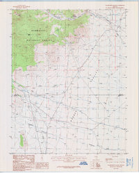
1985 · Wadsworth Ranch
USGS Topo · 1:24,000