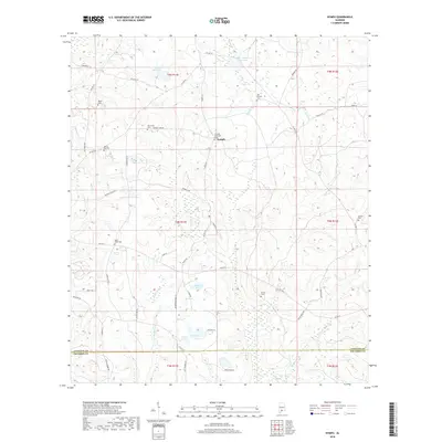
2018 Map of Nymph
USGS Topo · Published 2018About this map
The small community of Nymph is the central point of this rural survey, which captures a landscape of timberland and creeks along the border of Conecuh and Escambia counties. The area is notable for its numerous burial grounds, including the Greater Nazarene Cem near the town site and the Sparta Hill Cem to the west. These small, scattered cemeteries, such as Holly Grove Cem and Albrest Cem, are vital landmarks for tracing family lineages in this part of southern Alabama.
Find a feature on this map
61 named features on this map. Tap any name to fly to it.
Don’t see what you’re looking for? This feature index may not catch every label — zoom into the map to look around manually.
Map Details
Editions of this 2018 Nymph Map
This is the sole edition of this map. No revisions or reprints were ever made.
Other maps of this area

1953 · Andalusia
USGS Topo · 1:250,000

1957 · Andalusia
USGS Topo · 1:250,000

1960 · Brewton North
USGS Topo · 1:24,000

1971 · Castleberry
USGS Topo · 1:24,000

1971 · Belleville
USGS Topo · 1:24,000

1982 · Shipps Creek
USGS Topo · 1:24,000

1982 · Evergreen
USGS Topo · 1:24,000

1982 · Damascus
USGS Topo · 1:24,000

1982 · Nymph
USGS Topo · 1:24,000

1982 · Old Town
USGS Topo · 1:24,000