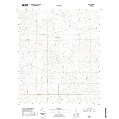
2020 Map of Nymph
USGS Topo · Published 2020About this map
Nymph sits at the heart of this landscape, serving as a central point in an area defined by family cemeteries and small water bodies along the Conecuh County and Escambia County border. The distribution of sites like Sparta Cem, Old Beulah Cem, and Greater Nazarene Cem suggests a long-established rural community pattern where churchyards and family plots are scattered throughout the countryside. These features provide essential data for genealogists tracing families in this part of Alabama.
Find a feature on this map
67 named features on this map. Tap any name to fly to it.
Don’t see what you’re looking for? This feature index may not catch every label — zoom into the map to look around manually.
Map Details
Editions of this 2020 Nymph Map
This is the sole edition of this map. No revisions or reprints were ever made.
Other maps of this area

1953 · Andalusia
USGS Topo · 1:250,000

1957 · Andalusia
USGS Topo · 1:250,000

1960 · Brewton North
USGS Topo · 1:24,000

1971 · Castleberry
USGS Topo · 1:24,000

1971 · Belleville
USGS Topo · 1:24,000

1982 · Shipps Creek
USGS Topo · 1:24,000

1982 · Evergreen
USGS Topo · 1:24,000

1982 · Damascus
USGS Topo · 1:24,000

1982 · Nymph
USGS Topo · 1:24,000

1982 · Old Town
USGS Topo · 1:24,000