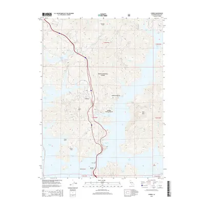
2015 Map of O'Brien
USGS Topo · Published 2015About this map
O'Brien sits at the heart of this Shasta County landscape, serving as a gateway to the intricate shoreline of Shasta Lake. In the mid-2010s, this area reflects a well-established recreation economy, defined by landmarks like Holiday Harbor Resort and Lakeview Resort. The map highlights the complex geography of the reservoir, where the McCloud River Arm and Pit River Arm converge. Transportation is anchored by the massive Pit River Bridge, which spans the water near Beaver Island and Ski Island. Away from the water, the terrain rises sharply toward O'Brien Mtn and the steep walls of Lightning Canyon. Much of the territory is managed as part of the Shasta National Forest, preserving the wooded character of the numerous gulches and coves, such as Packers Bay and Turntable Bay, which provide deep-water access for local marinas and boaters.
Find a feature on this map
40 named features on this map. Tap any name to fly to it.
Don’t see what you’re looking for? This feature index may not catch every label — zoom into the map to look around manually.
Map Details
Editions of this 2015 O'Brien Map
This is the sole edition of this map. No revisions or reprints were ever made.
Other maps of this area

1890 · Red Bluff
USGS Topo · 1:250,000

1894 · Red Bluff
USGS Topo · 1:250,000

1901 · Redding
USGS Topo · 1:125,000

1944 · Redding
USGS Topo · 1:62,500

1946 · Lamoine
USGS Topo · 1:62,500

1946 · Redding
USGS Topo · 1:62,500

1949 · Bollibokka Mtn
USGS Topo · 1:62,500

1953 · Millville
USGS Topo · 1:62,500
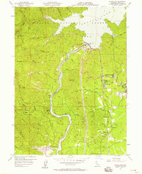
1956 · Shasta Dam
USGS Topo · 1:24,000
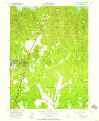
1957 · Project City
USGS Topo · 1:24,000