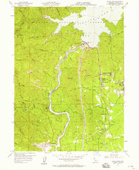
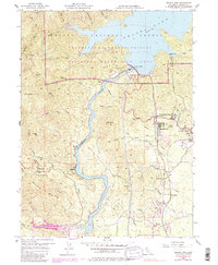
1956 Map of Shasta Dam
USGS Topo · Published 1958About this map
Shasta Dam and the massive impoundment of Lake Shasta dominate this 1950s survey, illustrating the transformative impact of mid-century water infrastructure on the Northern California landscape. The engineering effort required to manage the Sacramento River is visible through the intricate network of water tanks, a sewage disposal site, and the Vista House overlooking the reservoir. In the shadow of the dam, the planned housing of Government Camp and growing communities like Summit City and Central Valley reflect the era's residential expansion.
Find a feature on this map
49 named features on this map. Tap any name to fly to it.
Don’t see what you’re looking for? This feature index may not catch every label — zoom into the map to look around manually.
Map Details
Editions of this 1956 Shasta Dam Map
5 editions found
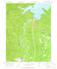
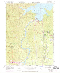
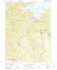
Other maps of this area

1890 · Red Bluff
USGS Topo · 1:250,000

1894 · Red Bluff
USGS Topo · 1:250,000

1901 · Redding
USGS Topo · 1:125,000

1913 · Weaverville
USGS Topo · 1:125,000

1944 · Redding
USGS Topo · 1:62,500

1944 · French Gulch
USGS Topo · 1:62,500

1946 · Lamoine
USGS Topo · 1:62,500

1946 · Redding
USGS Topo · 1:62,500

1948 · French Gulch
USGS Topo · 1:62,500

1950 · Schell Mtn
USGS Topo · 1:62,500