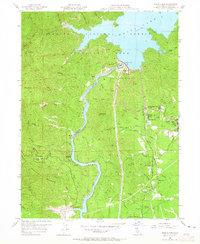
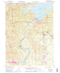
1956 Map of Shasta Dam
USGS Topo · Published 1965About this map
The massive engineering of Shasta Dam and its resulting Shasta Lake dominate this mid-century landscape in the Shasta National Forest. Downstream, the Sacramento River carves through a region defined by industrial extraction and workers' settlements. Numerous mines, including the Balaklala Mine and Spreadeagle Mine, dot the hillsides, connected by infrastructure such as a Tramway near Minnesota and an Old Railroad Grade winding through the canyons. The presence of Government Camp and its Toyon Sch reflects the organized communities established during and after the dam's construction phase. This era reveals a transition from remote mining outposts to settled towns like Summit City and Central Valley, all supported by the Southern Pacific rail lines that navigate the narrow river corridor toward Buckeye.
Find a feature on this map
61 named features on this map. Tap any name to fly to it.
Don’t see what you’re looking for? This feature index may not catch every label — zoom into the map to look around manually.
Map Details
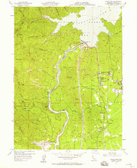
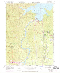
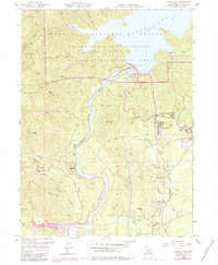
Editions of this 1956 Shasta Dam Map
5 editions found
Other maps of this area

1890 · Red Bluff
USGS Topo · 1:250,000

1894 · Red Bluff
USGS Topo · 1:250,000

1901 · Redding
USGS Topo · 1:125,000

1913 · Weaverville
USGS Topo · 1:125,000

1944 · Redding
USGS Topo · 1:62,500

1944 · French Gulch
USGS Topo · 1:62,500

1946 · Lamoine
USGS Topo · 1:62,500

1946 · Redding
USGS Topo · 1:62,500

1948 · French Gulch
USGS Topo · 1:62,500

1950 · Schell Mtn
USGS Topo · 1:62,500