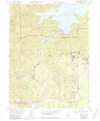
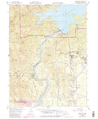
1956 Map of Shasta Dam
USGS Topo · Published 1984About this map
Shasta Dam anchors this mid-century landscape, controlling the waters of the Sacramento River and forming the southern reaches of Shasta Lake. This era shows the infrastructure of the Bureau of Reclamation and the California Department of Water Resources in detail, including the Vista House and the extensive network of the Whiskeytown-Shasta-Trinity National Recreation Area. Industrial and mining history is evident along the river corridor, where the Southern Pacific railroad passes through Matheson and near several older workings like the Minnesota and Walker Mine. Settlement patterns reflect the post-war growth of the region, with established communities at Summit City, Central Valley, and Government Camp. Educational and social hubs such as the Toyon Sch and Spring Creek School provide vital checkpoints for genealogists and local historians tracing family roots in this corner of the Shasta National Forest.
Find a feature on this map
47 named features on this map. Tap any name to fly to it.
Don’t see what you’re looking for? This feature index may not catch every label — zoom into the map to look around manually.
Map Details
Editions of this 1956 Shasta Dam Map
5 editions found
Other maps of this area

1890 · Red Bluff
USGS Topo · 1:250,000

1894 · Red Bluff
USGS Topo · 1:250,000

1901 · Redding
USGS Topo · 1:125,000

1913 · Weaverville
USGS Topo · 1:125,000

1944 · Redding
USGS Topo · 1:62,500

1944 · French Gulch
USGS Topo · 1:62,500

1946 · Lamoine
USGS Topo · 1:62,500

1946 · Redding
USGS Topo · 1:62,500

1948 · French Gulch
USGS Topo · 1:62,500

1950 · Schell Mtn
USGS Topo · 1:62,500