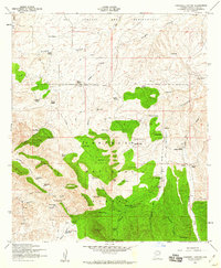
1958 Map of O'Donnell Canyon
USGS Topo · Published 1960About this map
The Canelo Hills of Santa Cruz County dominate this mid-century topographic study, revealing a landscape defined by cattle ranching and early mining ventures within the Coronado National Forest. Small-scale settlement is concentrated around Canelo and the Canelo Ranger Station, with several legacy homesteads such as Canby Ranch, Everhart Ranch, and Wood Ranch scattered across the northern canyons. Education and community sites are documented at the Canille School and Black Oak Cemetery, while the southern reaches show the industrial footprint of the New York Mine, La Plata Mine, and Meadow Valley Mine. A complex network of water features, including Welch Spring, Rattlesnake Dam, and numerous livestock tanks like Pinto Tank and Post Well, underscores the vital importance of water management for the ranches situated along O'Donnell Canyon and Vaughn Canyon during the 1950s.
Find a feature on this map
66 named features on this map. Tap any name to fly to it.
Don’t see what you’re looking for? This feature index may not catch every label — zoom into the map to look around manually.
Map Details
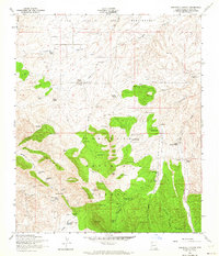
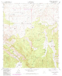
Editions of this 1958 O'Donnell Canyon Map
3 editions found
Other maps of this area

1904 · Patagonia
USGS Topo · 1:125,000

1905 · Patagonia
USGS Topo · 1:125,000

1905 · Nogales
USGS Topo · 1:125,000

1914 · Hereford
USGS Topo · 1:125,000

1915 · Benson
USGS Topo · 1:125,000

1922 · Sunnyside
USGS Topo · 1:62,500

1932 · Lochiel
USGS Topo · 1:62,500

1932 · Elgin
USGS Topo · 1:62,500

1938 · Huachuca
USGS Topo · 1:62,500

1938 · Sunnyside
USGS Topo · 1:62,500