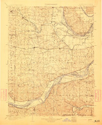
1903 Map of O'Fallon
USGS Topo · Published 1913About this map
The Cuivre River and Missouri River define the winding corridors of this landscape, where the agricultural plains of eastern Missouri meet the bottomlands of the Mississippi valley. This territory is heavily marked by the rail infrastructure of the early twentieth century, including the Wabash R. R. and the St. Louis and Hannibal River, which catalyzed the growth of towns like Wentzville and O'Fallon. The map reveals a complex network of river crossings and landings essential to regional commerce before modern bridging, such as Mc Gregor Ford and Cap Au Gris Landing. In the floodplains, features like Portage des Sioux and Greens Bottom suggest a landscape shaped by seasonal water cycles, while the upland areas are dotted with community anchors like Josephville and New Melle.
Find a feature on this map
175 named features on this map. Tap any name to fly to it.
Don’t see what you’re looking for? This feature index may not catch every label — zoom into the map to look around manually.
Map Details
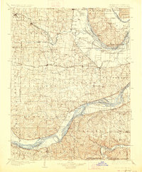
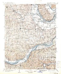
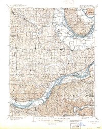
Editions of this 1903 O'Fallon Map
5 editions found
Other maps of this area

1890 · Louisiana
USGS Topo · 1:125,000

1890 · Hermann
USGS Topo · 1:125,000

1901 · De Soto
USGS Topo · 1:125,000

1903 · O'Fallon
USGS Topo · 1:125,000

1903 · Sullivan
USGS Topo · 1:125,000

1912 · Kimmswick
USGS Topo · 1:62,500

1916 · Kimmswick
USGS Topo · 1:62,500

1924 · Robertson
USGS Topo · 1:24,000

1927 · St. Charles
USGS Topo · 1:62,500

1930 · Hardin
USGS Topo · 1:62,500