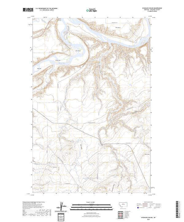
2024 Map of O'Hanlon Coulee
USGS Topo · Published 2024About this map
Upper Missouri River Breaks National Monument dominates the northern reaches of this Montana landscape, where the Teton River joins the mighty Missouri River. This protected corridor preserves a wild riverine environment characterized by dramatic bends like Evans Bend and alluvial features such as Shonkin Bar and Baker Bar. The surrounding Chouteau County terrain rises from the riverbanks to elevated plateaus like Rowe Bench and prominent landmarks including Crocon du Nez and Shaws Peak.
Find a feature on this map
37 named features on this map. Tap any name to fly to it.
Don’t see what you’re looking for? This feature index may not catch every label — zoom into the map to look around manually.
Map Details
Editions of this 2024 O'Hanlon Coulee Map
This is the sole edition of this map. No revisions or reprints were ever made.
Other maps of this area

1890 · Fort Benton
USGS Topo · 1:250,000

1892 · Fort Benton
USGS Topo · 1:250,000

1897 · Fort Benton
USGS Topo · 1:250,000

1953 · Rocky Lake
USGS Topo · 1:24,000

1953 · Loma East
USGS Topo · 1:24,000

1953 · O'Hanlon Coulee
USGS Topo · 1:24,000

1953 · Loma West
USGS Topo · 1:24,000

1954 · Great Falls
USGS Topo · 1:250,000

1954 · Fort Benton
USGS Topo · 1:24,000

1957 · Great Falls
USGS Topo · 1:250,000