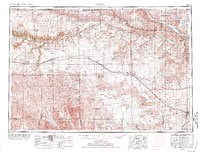
1955 Map of O'Neill
USGS Topo · Published 1974About this map
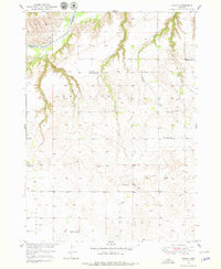
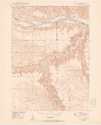
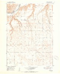
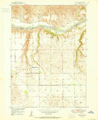
The Sand Hills of northern Nebraska dominate this mid-century landscape, a region defined by its unique prairie geology and the convergence of major waterways. The Niobrara River carves a deep path across the northern tier, while the Missouri River forms a natural boundary near the Yankton Indian Reservation. To the south, the headwaters of the Elkhorn River and South Fork Elkhorn River emerge from the sandy uplands, supporting agricultural communities like O'Neill, Atkinson, and Stuart.
Find a feature on this map
98 named features on this map. Tap any name to fly to it.
Don’t see what you’re looking for? This feature index may not catch every label — zoom into the map to look around manually.
Map Details
Editions of this 1955 O'Neill Map
2 editions found

Other maps of this area

1898 · Olivet
USGS Topo · 1:125,000
1949 · Dutch Creek
USGS Topo · 1:24,000

1949 · Koshopah
USGS Topo · 1:62,500
1949 · Jamison SW
USGS Topo · 1:24,000
1949 · Riverview
USGS Topo · 1:24,000
1949 · Carns
USGS Topo · 1:24,000
1950 · Bassett NW
USGS Topo · 1:24,000

1950 · Norden
USGS Topo · 1:62,500
1950 · Carns
USGS Topo · 1:24,000
1950 · Riverview
USGS Topo · 1:24,000