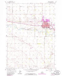
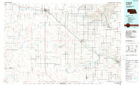
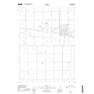
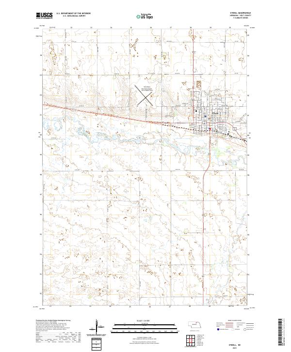
1959 Map of O'Neill
USGS Topo · Published 1959About this map
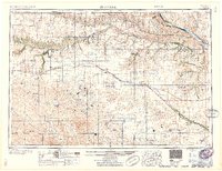
The Sand Hills of northern Nebraska dominate this mid-century landscape, where the Chicago and North Western railway serves as the primary corridor for commerce and travel between Ainsworth and O'Neill. This survey illustrates the intricate drainage systems that define the region, from the wide Missouri River and Niobrara River valleys in the north to the headwaters of the Elkhorn River and Calamus River in the south. The distribution of small settlements like Stuart, Atkinson, and Emmet along the rail line reflects the essential relationship between transportation and the ranching economy of the late 1950s. Farther from the tracks, scattered outposts such as Amelia, Ballagh, and Duff point to the remote nature of the surrounding hills. Detailed infrastructure including the Perkins Memorial Airpark and various county boundary lines provides a clear view of the administrative and civil layout of Holt County and its neighbors.
Find a feature on this map
121 named features on this map. Tap any name to fly to it.
Don’t see what you’re looking for? This feature index may not catch every label — zoom into the map to look around manually.
Map Details
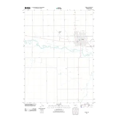
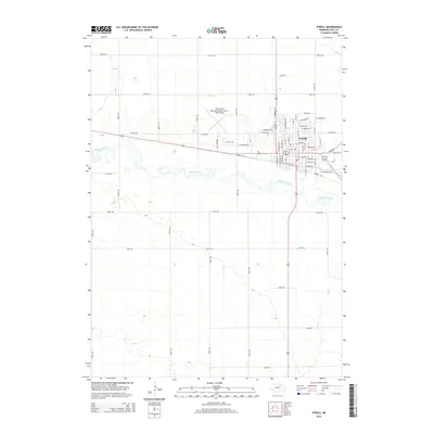
Editions of this 1959 O'Neill Map
2 editions found
Historical Maps of O'Neill Through Time
10 maps found