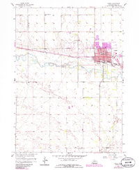
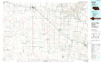
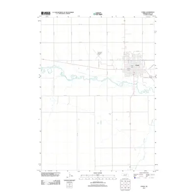
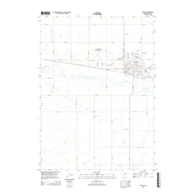
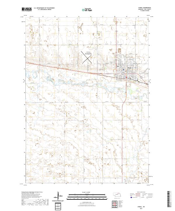
1989 Map of O'Neill
USGS Topo · Published 1989About this map
The Niobrara River carves a winding path across this 1989 survey, joining the Missouri River in a landscape defined by the transition from high plains to the iconic Sand Hills. This era shows a well-established network of rural prairie settlements, including Niobrara, Lynch, and the small community of Monowi. The Chicago and North Western RR provides a critical industrial spine, paralleling the course of the Elkhorn River through the southern half of the map. Beyond the river valleys, the terrain opens into vast grazing lands like Buffalo Flats, dotted with numerous small lakes such as Swan Lake and Goose Lake. Local history is preserved in named locations like Pishelville and the Santee area, while the presence of the Thomas Creek State Wildlife Mgmt Area and Niobrara State Park highlights the intersection of public land management and the region's diverse ecological zones.
Find a feature on this map
99 named features on this map. Tap any name to fly to it.
Don’t see what you’re looking for? This feature index may not catch every label — zoom into the map to look around manually.
Map Details
Editions of this 1989 O'Neill Map
This is the sole edition of this map. No revisions or reprints were ever made.
Historical Maps of O'Neill Through Time
10 maps found