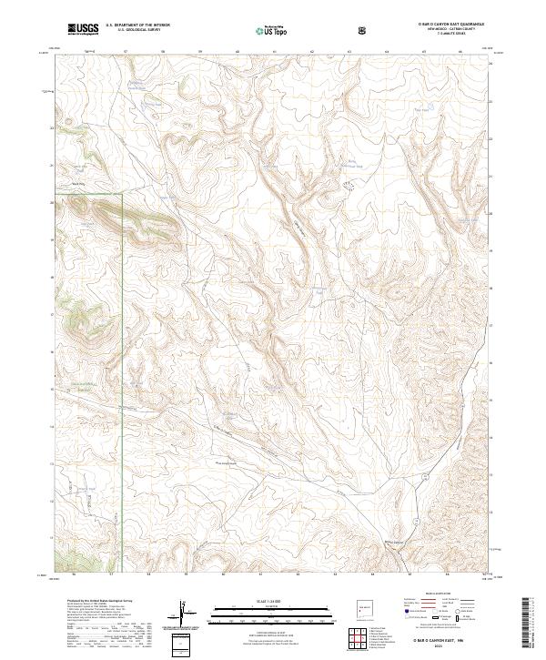
2023 Map of O Bar O Canyon East
USGS Topo · Published 2023About this map
Gila National Forest encompasses the high, arid landscape of this southwestern New Mexico region, where the terrain is defined by deep drainages and cattle ranching infrastructure. The map reveals a complex network of canyons, most notably O Bar O Canyon and Railroad Canyon, which slice through the high country. To support livestock in this dry environment, numerous small reservoirs or tanks dot the landscape, including Shipping Pasture Tank, Chu Chu Tank, and North Homestead Tank. Access is maintained by isolated routes such as O Bar O Canyon Rd and Loco Mountain Rd, which snake through the draws and across ridges like Buck Pass. This survey illustrates the modern management of a working wilderness, where historic canyon names like Horse Camp Canyon hint at the area's long-standing equestrian and ranching heritage.
Find a feature on this map
31 named features on this map. Tap any name to fly to it.
Don’t see what you’re looking for? This feature index may not catch every label — zoom into the map to look around manually.
Map Details
Editions of this 2023 O Bar O Canyon East Map
This is the sole edition of this map. No revisions or reprints were ever made.
Other maps of this area

1911 · Alum Mountain
USGS Topo · 1:125,000

1913 · Alum Mountain
USGS Topo · 1:125,000

1918 · Pelona
USGS Topo · 1:125,000

1954 · Clifton
USGS Topo · 1:250,000

1957 · Clifton
USGS Topo · 1:250,000

1958 · Clifton
USGS Topo · 1:250,000

1962 · Clifton
USGS Topo · 1:250,000
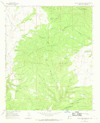
1965 · Canyon Creek Mountains
USGS Topo · 1:24,000
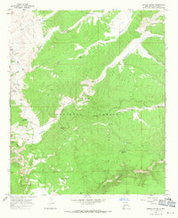
1967 · Spring Canyon
USGS Topo · 1:24,000
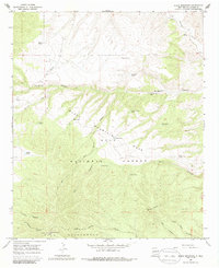
1967 · Black Mountain
USGS Topo · 1:24,000