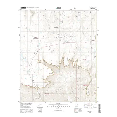
2014 Map of O W Point
USGS Topo · Published 2014About this map
Forest Lakes Estates serves as the primary settlement hub on this part of the Mogollon Plateau, situated just north of the dramatic Mogollon Rim. This 2014 survey documents the complex boundary between the Sitgreaves National Forest and the Tonto National Forest, where the plateau drops off into a series of deep drainages including Valentine Canyon and Colcord Canyon. The landscape is defined by its water management, featuring a dense network of tanks and lakes such as Willow Springs Lake, Jacob Lake, and Moss Lake. Local topography is characterized by numerous spurs and points extending south from the rim, notably Canyon Creek Point and Sheep Creek Point. Historic travel routes are well represented by the Payson-Heber Hwy and Old Rim Rd, which navigate the rugged transitions between the high timberlands and the deep canyons of Gila and Coconino counties.
Find a feature on this map
80 named features on this map. Tap any name to fly to it.
Don’t see what you’re looking for? This feature index may not catch every label — zoom into the map to look around manually.
Map Details
Editions of this 2014 O W Point Map
This is the sole edition of this map. No revisions or reprints were ever made.
Other maps of this area
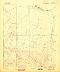
1886 · Holbrook
USGS Topo · 1:250,000
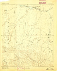
1893 · Holbrook
USGS Topo · 1:250,000
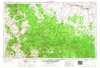
1954 · Holbrook
USGS Topo · 1:250,000
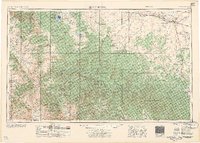
1957 · Holbrook
USGS Topo · 1:250,000
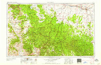
1958 · Holbrook
USGS Topo · 1:250,000
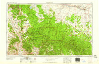
1960 · Holbrook
USGS Topo · 1:250,000
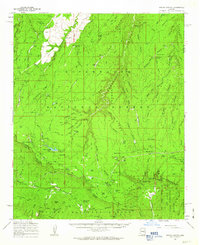
1961 · Woods Canyon
USGS Topo · 1:62,500
1961 · Heber
USGS Topo · 1:62,500
1961 · Chediski Peak
USGS Topo · 1:62,500
1961 · Young
USGS Topo · 1:62,500