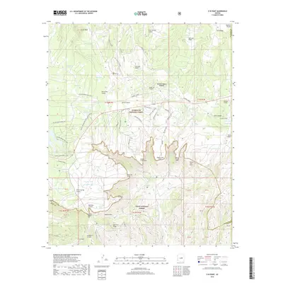
2018 Map of O W Point
USGS Topo · Published 2018About this map
Forest Lakes Estates sits atop the Mogollon Plateau, a region defined by the dramatic drop-off of the Mogollon Rim. This survey documents a landscape managed for both timber and recreation, straddling the boundary between the Sitgreaves National Forest and the Tonto National Forest. The map shows a sophisticated network of seasonal routes, including the Willow Springs Bike Loop and specialized trails like the Sardine Snowmobile path and the Wedding Day trail.
Find a feature on this map
83 named features on this map. Tap any name to fly to it.
Don’t see what you’re looking for? This feature index may not catch every label — zoom into the map to look around manually.
Map Details
Editions of this 2018 O W Point Map
This is the sole edition of this map. No revisions or reprints were ever made.
Other maps of this area
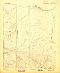
1886 · Holbrook
USGS Topo · 1:250,000
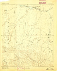
1893 · Holbrook
USGS Topo · 1:250,000
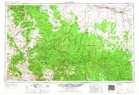
1954 · Holbrook
USGS Topo · 1:250,000
1957 · Holbrook
USGS Topo · 1:250,000
1958 · Holbrook
USGS Topo · 1:250,000
1960 · Holbrook
USGS Topo · 1:250,000
1961 · Woods Canyon
USGS Topo · 1:62,500
1961 · Heber
USGS Topo · 1:62,500
1961 · Chediski Peak
USGS Topo · 1:62,500
1961 · Young
USGS Topo · 1:62,500