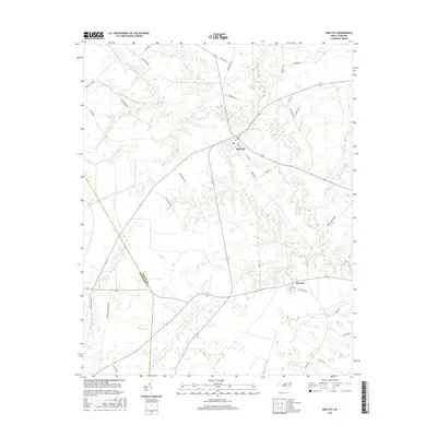
2016 Map of Oak City
USGS Topo · Published 2016About this map
Oak City serves as the primary hub of this eastern North Carolina landscape, where the agricultural plains of Martin County meet the slow-moving waters of the Atlantic Coastal Plain. The map reveals a high concentration of wetland systems, notably Etheridge Swamp in the north and the expansive Ross Swamp to the south. These features, along with winding drainages like Conoho Creek and Crisp Creek, dictate the placement of local thoroughfares and farm tracts.
Find a feature on this map
38 named features on this map. Tap any name to fly to it.
Don’t see what you’re looking for? This feature index may not catch every label — zoom into the map to look around manually.
Map Details
Editions of this 2016 Oak City Map
This is the sole edition of this map. No revisions or reprints were ever made.
Other maps of this area

1901 · Parmele
USGS Topo · 1:62,500

1901 · Williamston
USGS Topo · 1:62,500

1902 · Williamston
USGS Topo · 1:62,500

1902 · Parmele
USGS Topo · 1:62,500

1953 · Norfolk
USGS Topo · 1:250,000

1953 · Rocky Mount
USGS Topo · 1:250,000

1954 · Rocky Mount
USGS Topo · 1:250,000

1962 · Palmyra
USGS Topo · 1:24,000

1962 · Hobgood
USGS Topo · 1:24,000

1972 · Woodville
USGS Topo · 1:24,000