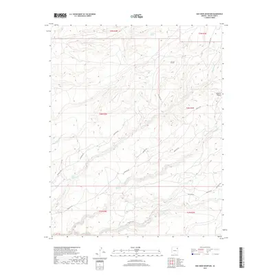
2018 Map of Oak Creek Mountain
USGS Topo · Published 2018About this map
Oak Creek Mountain and the western edge of the Defiance Plateau dominate this landscape within the Chinle Agency. The map reveals an intricate network of desert hydrology, where seasonal drainages like Lone Tule Wash, Sage House Wash, and Ruin Wash carve through the high-elevation terrain. This 2018 survey documents a remote region of the Navajo Nation where water remains the most critical landmark. Vital water sources are specifically identified, including Tsegito Spring, Tseya-Kinsikadi Spring, and Black Soil Spring, indicating their importance for local livestock and land use. The southern portion of the quadrangle is defined by the larger drainage of Kinlichee Cr and the meandering Scattered Willow Wash, while transportation is limited to established routes such as Fluted Rock Rd and several numbered Indian Routes that connect these remote points.
Find a feature on this map
24 named features on this map. Tap any name to fly to it.
Don’t see what you’re looking for? This feature index may not catch every label — zoom into the map to look around manually.
Map Details
Editions of this 2018 Oak Creek Mountain Map
This is the sole edition of this map. No revisions or reprints were ever made.
Other maps of this area
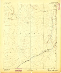
1886 · Fort Defiance
USGS Topo · 1:250,000
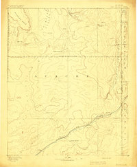
1892 · Fort Defiance
USGS Topo · 1:250,000

1954 · Gallup
USGS Topo · 1:250,000
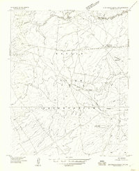
1955 · Zith-Tusayan Butte 3 NW
USGS Topo · 1:24,000
1955 · Zith-Tusayan Butte 2 SE
USGS Topo · 1:24,000
1955 · Zith-Tusayan Butte 4 NW
USGS Topo · 1:24,000
1955 · Zith-Tusayan Butte 2 SW
USGS Topo · 1:24,000
1955 · Zith-Tusayan Butte 3 NE
USGS Topo · 1:24,000
1955 · Zith-Tusayan Butte 2 NW
USGS Topo · 1:24,000
1955 · Zith-Tusayan Butte 2 NE
USGS Topo · 1:24,000