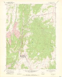
1969 Map of Oak Creek
USGS Topo · Published 1972About this map
Edna Mine dominates the northern landscape of this Routt County region, where industrial coal extraction meets a complex network of agricultural irrigation. The town of Oak Creek serves as the central hub, supported by the Denver and Rio Grande Western railroad that follows the creek’s winding path. Smaller settlements like Haybro and Keystone are situated along the valley floor, highlighting the era's reliance on the rail corridor for both transport and local commerce.
Find a feature on this map
33 named features on this map. Tap any name to fly to it.
Don’t see what you’re looking for? This feature index may not catch every label — zoom into the map to look around manually.
Map Details
Editions of this 1969 Oak Creek Map
2 editions found
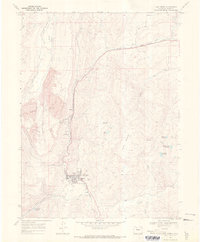
Other maps of this area

1924 · Mt. Harris
USGS Topo · 1:48,000

1926 · Mount Harris
USGS Topo · 1:62,500

1954 · Craig
USGS Topo · 1:250,000

1957 · Craig
USGS Topo · 1:250,000

1958 · Craig
USGS Topo · 1:250,000

1960 · Craig
USGS Topo · 1:250,000

1962 · Craig
USGS Topo · 1:250,000

1964 · Craig
USGS Topo · 1:250,000

1965 · Craig
USGS Topo · 1:250,000
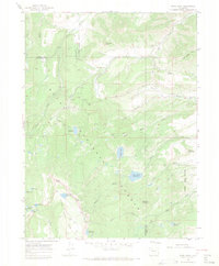
1966 · Sand Point
USGS Topo · 1:24,000