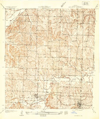
1934 Map of Oak Grove
USGS Topo · Published 1934About this map
Grain Valley and Oak Grove anchor this eastern Jackson County landscape during the mid-1930s, showing the early transportation network and rural school districts that defined the area. The Chicago and Alton RR bisects the southern portion of the sheet, running parallel to the Chicago and Alton Highway through the emerging town centers. The drainage patterns of the Sni A Bar Creek and its tributaries, including Blue Branch and Sni A Bar Branch, dictate the topography and the placement of local thoroughfares like Buckner Tarsney Road.
Find a feature on this map
26 named features on this map. Tap any name to fly to it.
Don’t see what you’re looking for? This feature index may not catch every label — zoom into the map to look around manually.
Map Details
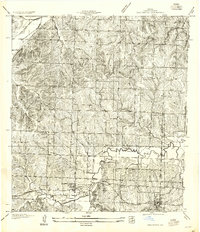
Editions of this 1934 Oak Grove Map
2 editions found
Other maps of this area

1887 · Harrisonville
USGS Topo · 1:125,000
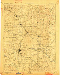
1892 · Harrisonville
USGS Topo · 1:125,000
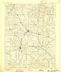
1894 · Harrisonville
USGS Topo · 1:125,000
1894 · Independence
USGS Topo · 1:125,000
1933 · Blue Springs
USGS Topo · 1:24,000
1934 · Woods Chapel
USGS Topo · 1:24,000
1935 · Buckner
USGS Topo · 1:24,000
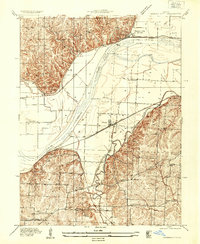
1935 · Missouri City
USGS Topo · 1:24,000
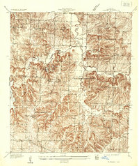
1935 · Tarsney
USGS Topo · 1:24,000
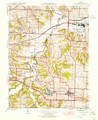
1945 · Blue Springs
USGS Topo · 1:24,000