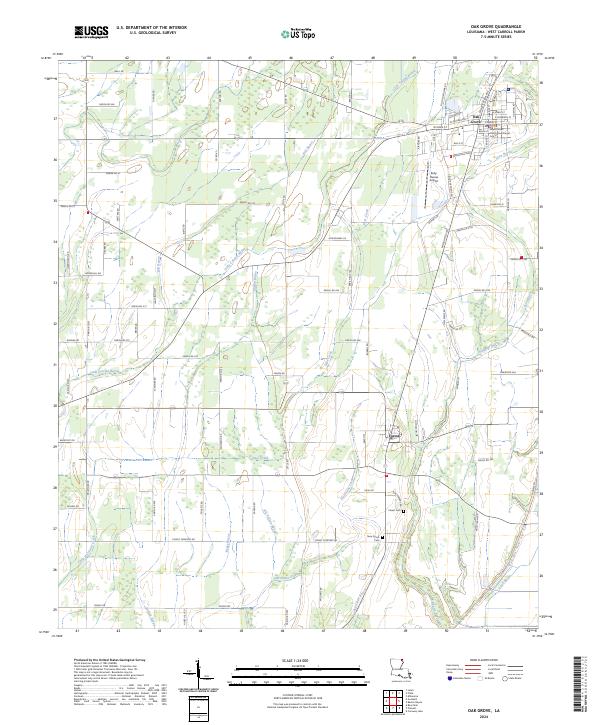
2024 Map of Oak Grove
USGS Topo · Published 2024About this map
Oak Grove serves as the primary hub of this northeastern Louisiana landscape, centered around the West Carroll Parish Courthouse. The town’s grid is well-defined by streets such as W Main St and Constitution Ave, transitioning quickly into an agricultural and hydrological network defined by the slow-moving waters of the Mississippi Delta region. To the south, the smaller settlement of Forest sits near the Forest Cem, marking a quiet rural community amidst a maze of bayous.
Find a feature on this map
106 named features on this map. Tap any name to fly to it.
Don’t see what you’re looking for? This feature index may not catch every label — zoom into the map to look around manually.
Map Details
Editions of this 2024 Oak Grove Map
This is the sole edition of this map. No revisions or reprints were ever made.
Other maps of this area

1909 · Baxter Bayou
USGS Topo · 1:24,000

1909 · Ashton Bridge
USGS Topo · 1:24,000

1911 · Baxter Bayou
USGS Topo · 1:24,000

1912 · Ashton Bridge
USGS Topo · 1:31,680

1914 · Baxter Bayou
USGS Topo · 1:31,680

1935 · Hurricane
USGS Topo · 1:62,500

1935 · Oak Grove
USGS Topo · 1:62,500

1935 · Bonita
USGS Topo · 1:62,500

1955 · Jackson
USGS Topo · 1:250,000

1958 · Oak Grove
USGS Topo · 1:62,500