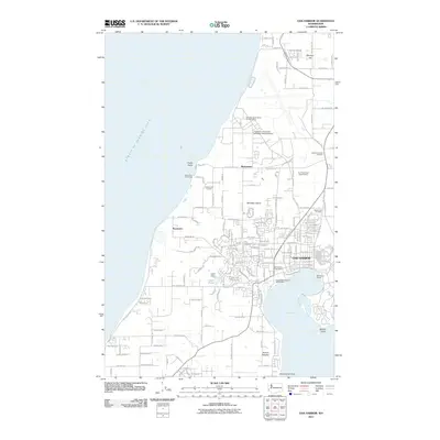
2011 Map of Oak Harbor
USGS Topo · Published 2011About this map
Whidbey Island dominates this 2011 survey, showing the complex interplay of maritime geography and naval infrastructure along the Strait of Juan de Fuca. The city of Oak Harbor is the central hub, characterized by a dense grid of residential streets and essential services like the Oak Harbor Post Office and Oak Harbor Marina. North of the main settlement, the influence of the local air station is evident through the Whidbey Island Naval Air Post Office and educational annexes like Chapman University - Whidbey Island Campus.
Find a feature on this map
168 named features on this map. Tap any name to fly to it.
Don’t see what you’re looking for? This feature index may not catch every label — zoom into the map to look around manually.
Map Details
Editions of this 2011 Oak Harbor Map
This is the sole edition of this map. No revisions or reprints were ever made.
Other maps of this area

1939 · Port Townsend
USGS Topo · 1:62,500

1939 · Coupeville
USGS Topo · 1:62,500

1943 · Richardson
USGS Topo · 1:62,500

1943 · Deception Pass
USGS Topo · 1:62,500

1951 · Deception Pass
USGS Topo · 1:62,500

1953 · Coupeville
USGS Topo · 1:24,000

1953 · Camano
USGS Topo · 1:24,000

1953 · Port Townsend North
USGS Topo · 1:24,000

1957 · Richardson
USGS Topo · 1:62,500

1957 · Victoria
USGS Topo · 1:250,000